A post by Mark
Hi all,
When I ended last time, we were heading out of the BVI for Saba.
Before we planned this adventure, I had never heard of Saba (maybe I had heard of it, but would have struggled to find it on a map). When we were doing the actual planning, Saba wasn’t a likely stop – as for many months out of the year, its shoreline is virtually unreachable by boat. You see… Saba is a volcanic island that looks like it just pops out of the sea – the shoreline is more or less a cliff all around the island. There is one ‘port’ (using the term somewhat loosely) – and if the wind or waves are coming from the wrong direction, you are not getting a small boat in or out of there. Luckily for us, the wind and waves – while somewhat ‘big’ – were in the right direction so we were able to visit. Before I get to Saba, however, I can’t gloss over our adventure getting there…
It all started off beautifully…. As planned, I headed into Customs and Immigration first thing in the morning to check us out of the BVI. After generating a ream of paperwork and paying $0.75 for something or another, I was back on the boat and we were preparing to head into the gas dock for fuel and water. Just as we are planning to leave, we hear another boat call into the gas dock – giving them the head’s up to help them pull the boat in. That’s when the day started to go sideways…. The gas dock is out of diesel. Ugh…. They had it the day before – must have just run out. Normally, this wouldn’t be such a bad thing – except that after the hurricane, there are only a few gas docks that still operate. Now, our choices are to sail about 10 or 15 miles the ‘wrong’ way to a harbor on Tortola or to head north towards our intended day anchorage and fill our tanks 5 gallons at a time via jerry cans filled at a ‘regular’ gas station. Neither sounded great – but we opted for the sail to Tortola – as it was a beautiful day out. We had a nice sail – which is something I haven’t been able to say very often – as for the majority of this trip, we have had to motor into the wind to get from one destination to the next. When we got to the harbor with the gas dock, things got less nice. First of all, this harbor (whose name I can’t remember) looked like a boat graveyard. Quite depressing to see all the sunken (and still sinking) boats. The next challenge was finding the marina with the working fuel dock. After a tour of the harbor, we found the dock – and weren’t real happy about it. The dock was very short, surrounded by a bunch of boats, and pointed directly downwind. To make things more exciting, the wind had picked up to about 20-25 kts aandthere wasn’t a person anywhere in sight to help us…. So, I had to do some fancy maneuvering to get the boat near the dock and then throw it into reverse to keep us from plowing through the end of the short dock.
I almost got it right the first try.
When I reversed us to stop us against the blowing wind, we got a bit crooked and one of our fenders on the bow got stuck on the dock and popped into the water. Realizing that I wasn’t going to be able to get the middle of the boat close enough to the dock for Julie to hop off and secure us, I had to jam it in reverse and back out of there…. As our fender is floating away and all the boats around us seem to all get a lot closer, we get away from the dock with only a minor scratch and regroup. Against the wishes of most on board, I decide to were going to try one more time. In this case, second time was a charm, and all was good (we even picked up our fender). Except that this fuel dock didn’t have water. Ugh…. Luckily, the marina north of us that didn’t have fuel did have water – so we were able to fill our tanks there. There is also a nice beach nearby, so we were able to get Willie off the boat for a run and swim.
So, all is good now – except that it is now ~5:00 pm and its time to leave for our passage. So much for our planned day of rest before heading out.
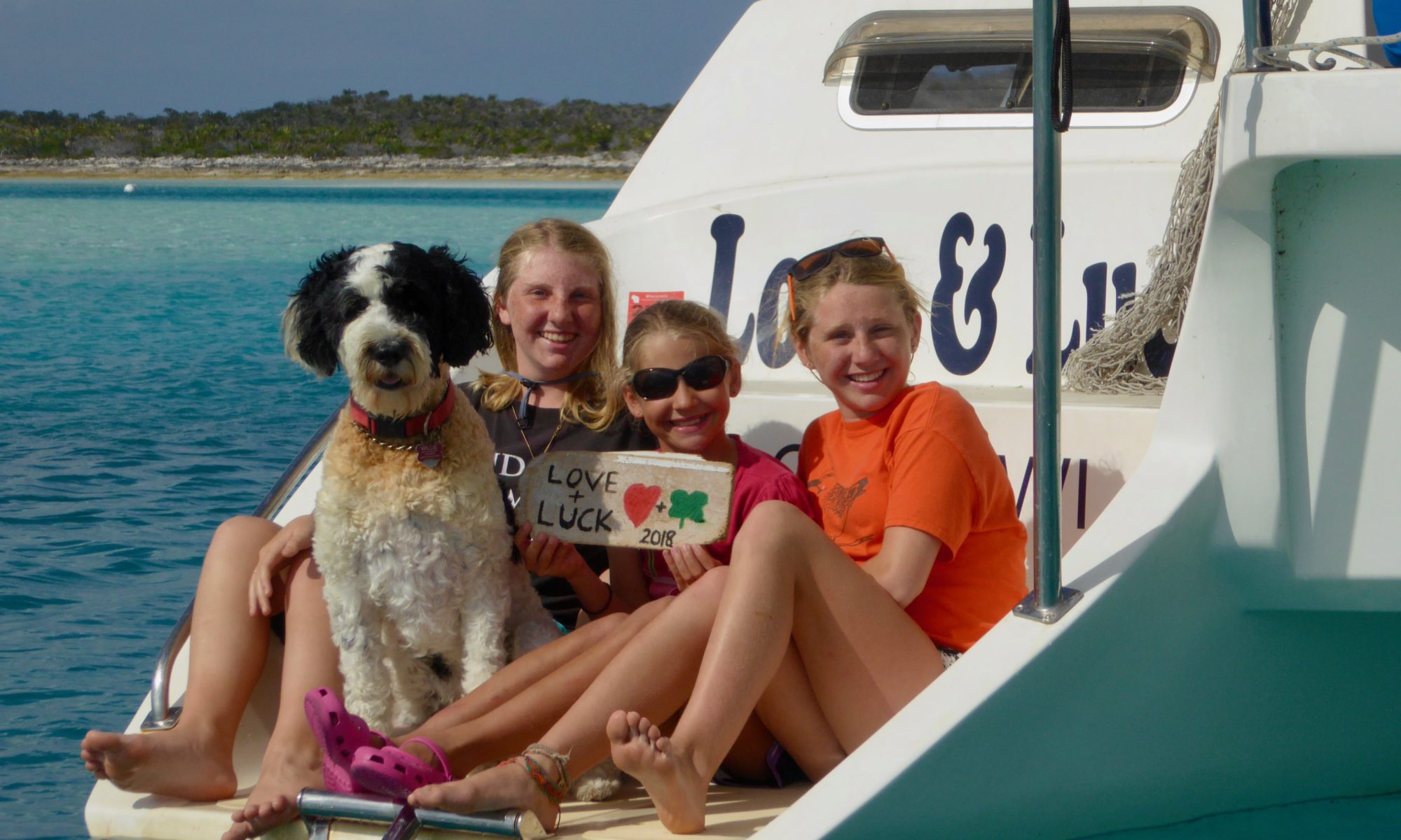
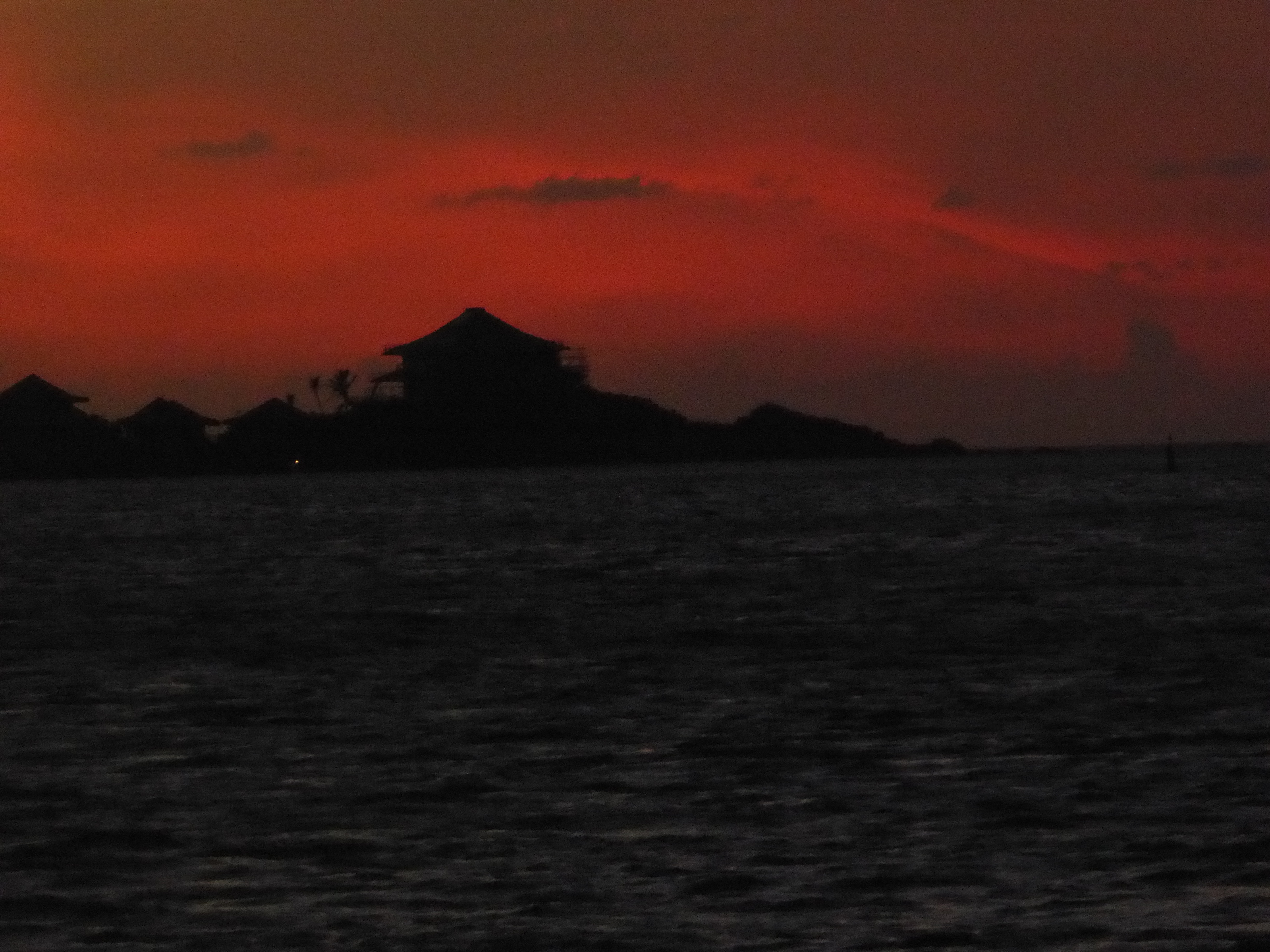
Sunset leaving the BVI
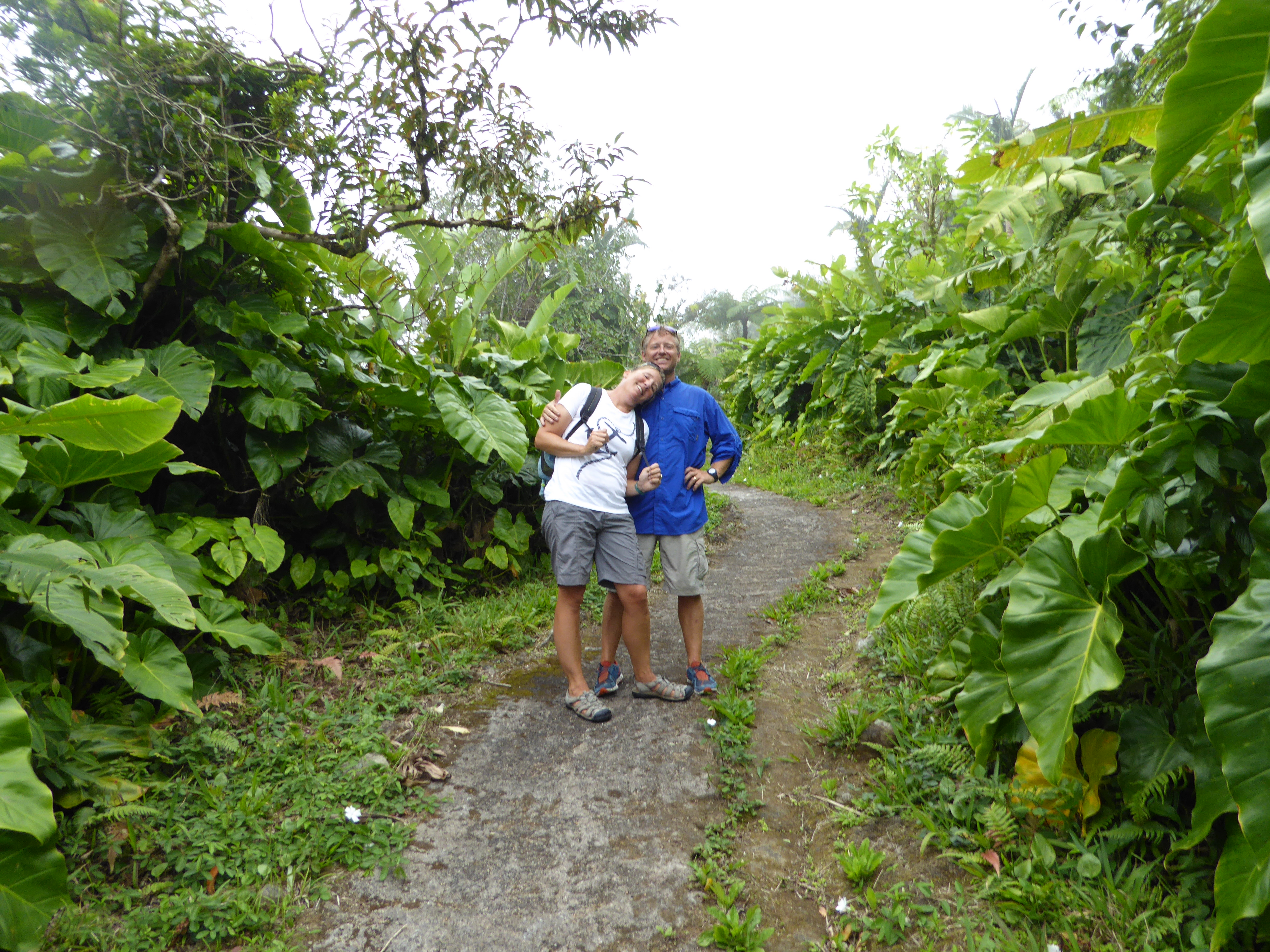
We knew that this was going to be a ‘sporty’ passage – as the winds were forecasted to be 15-20kts, gusts to 25 or so with seas 6-8’. We decided to leave then, however, because it didn’t look like it was going to be any calmer anytime soon. For the prior few days, the forecast had been predicting slightly calmer conditions – but as the days passed, the calmer conditions kept getting pushed farther and farther out. We ultimately decided to leave knowing that even if the conditions got a bit worse than forecasted, we would still be safe – just uncomfortable. Well… suffice it to say – it was uncomfortable. We motorsailed into nasty wind and waves for 17 unrelenting hours. Nothing remarkable – just a long trudge with the occasional (and sometimes more than occasional) wave crashing across the deck. When we got to Saba, we found a mooring and were very happy to be ‘done’. All of the water directly surrounding Saba is a National Marine Park, so you pretty much have to use a mooring. The interesting thing about the Saba anchorage is that it is situated such that the wind wraps and accelerates around the island so it was blowing a steady 30 kts all day. After a few hours rest, it was time to head to customs and get checked in. As with everything in Saba, the dinghy ride in from the anchorage to the port was a challenge. To get to the port, we had to dinghy 1/4 of the way around the island. As we traveled there, we went through a few minutes of strong wind and no waves, strong wind and big waves coming right at us, low wind and very big waves from the back, a set of 3 huge standing waves, and probably a few other combinations of wind and water that left us absolutely soaked. Like – we could have gone swimming and wouldn’t have gotten much wetter. Good thing we’re in the tropics and its pretty warm out. The check-in process with customs was pretty smooth – but we were going to have to come back a bit later to clear in with immigration (as they were not there at the time). An hour or two later, Sally, Heidi, Willie and I headed back to the port for a walk and to finish checking in.
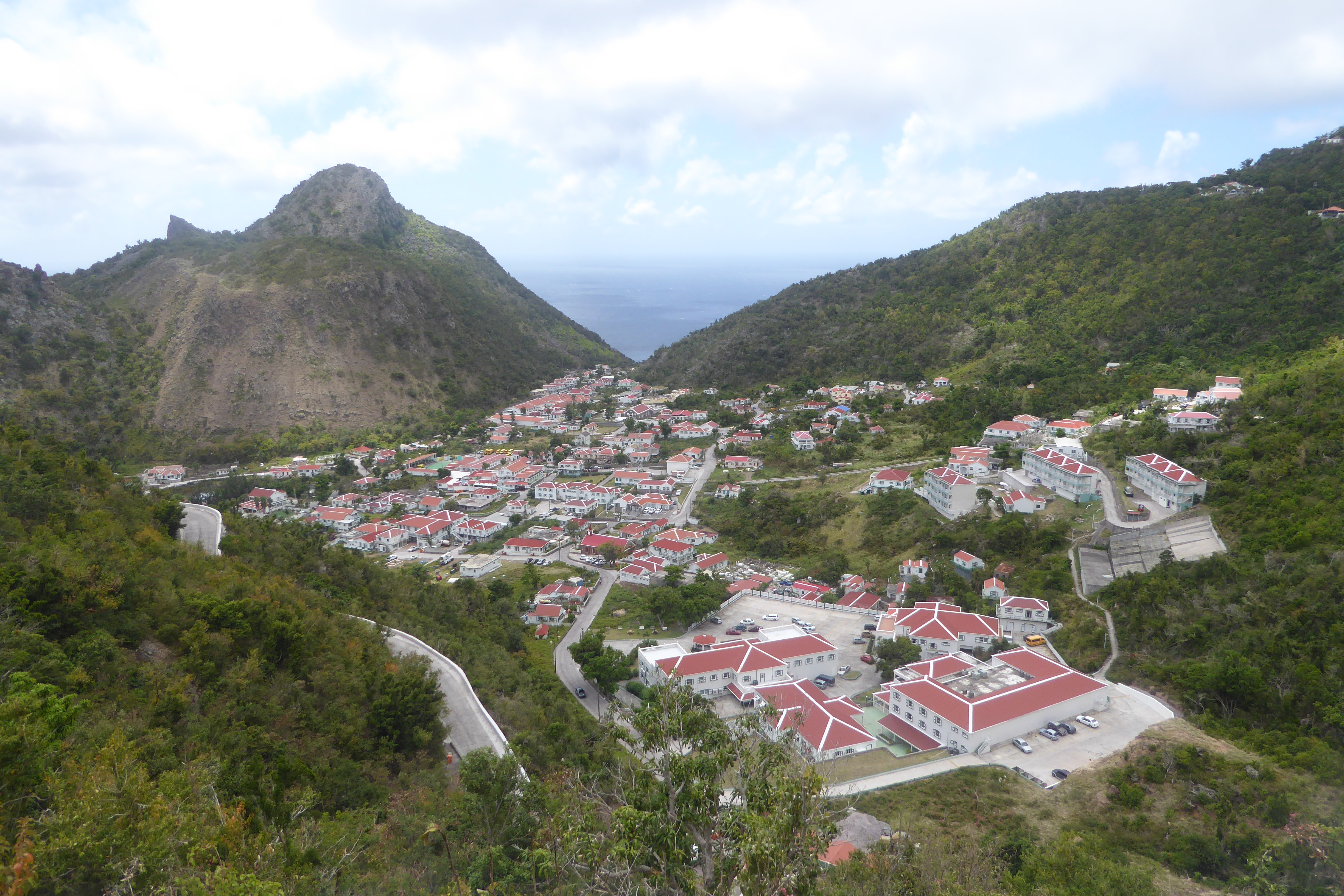
As I mentioned in the start of this post – this island just jumps straight up out of the water – so its quite a steep walk
Walking Willie up a 23 degree hill!
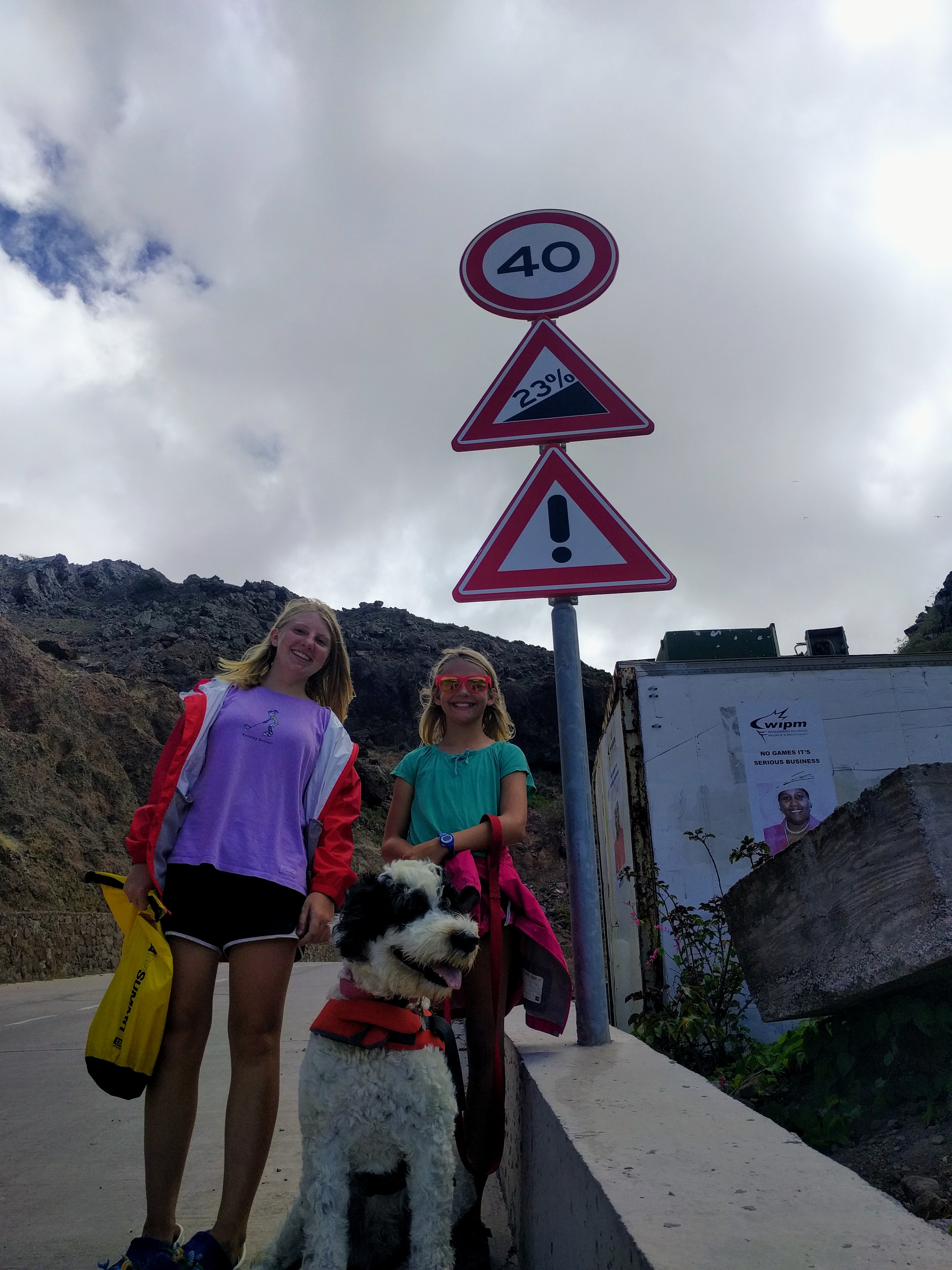
We didn’t make it far – but we all got a good workout.
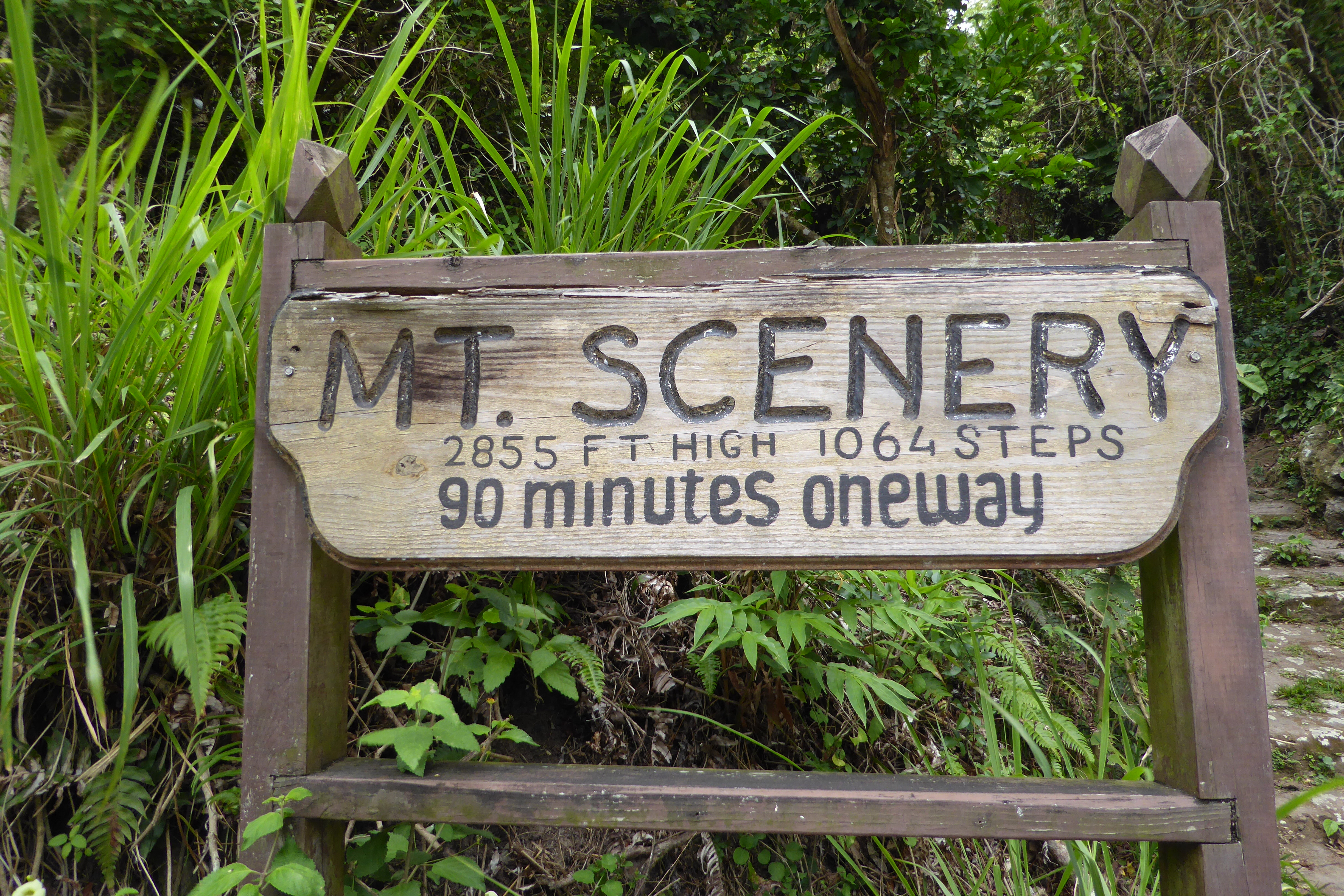
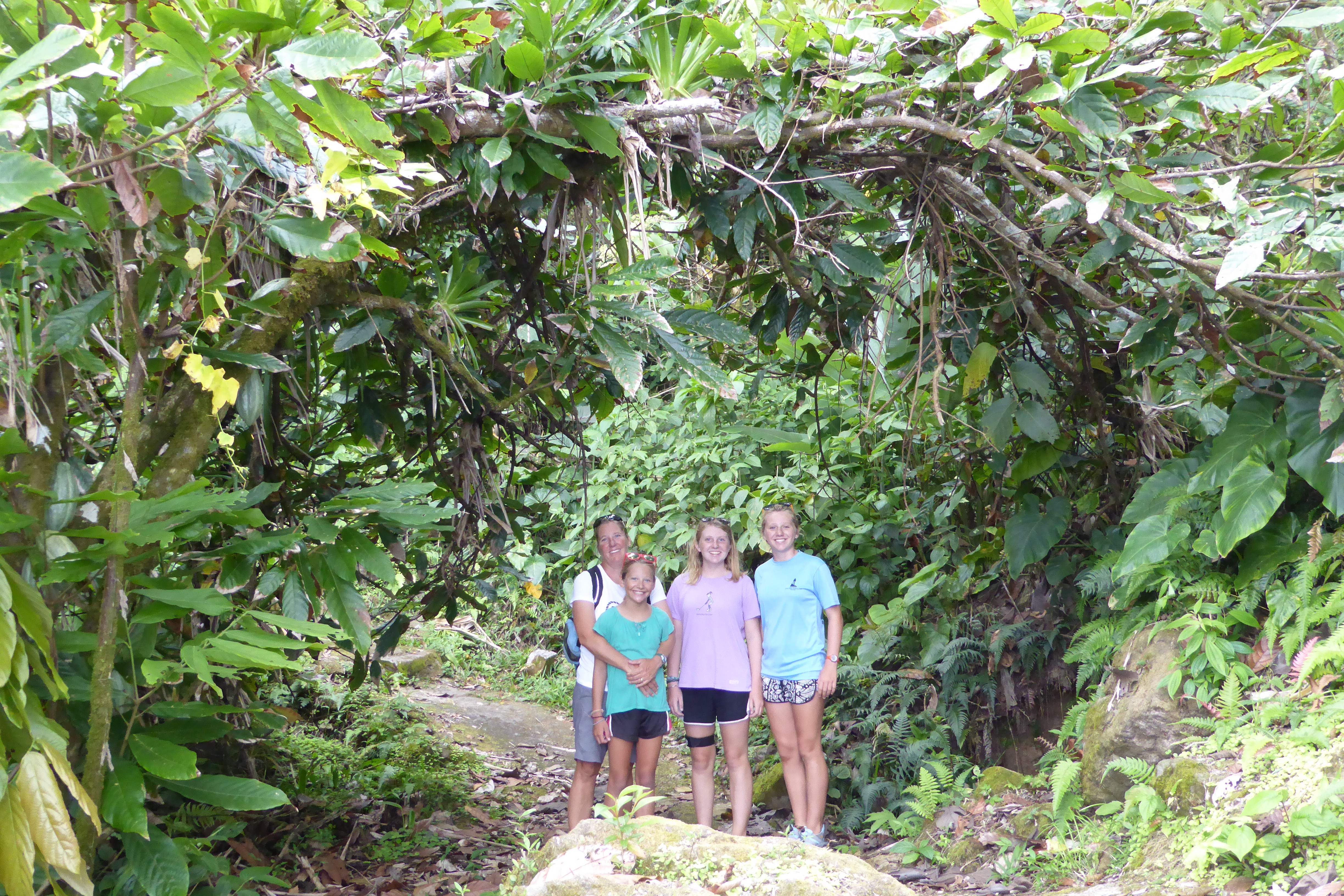
The next day, we took a taxi tour of the island. It was a lot of fun. The roads on Saba are memorable – with names like “The Road that Couldn’t be Built” and “The Road that Shouldn’t Have Been Built”. Our driver took us around for about an hour or two and then dropped us off at the trailhead to Mt. Scenery – the path that leads to the top of Saba. It is a very well maintained path with a little over 1,000 steps that goes through the rain forrest, cloud forrest, and several other ecological climates. At the top, there is apparently a great view of the surrounding islands – but it is almost always hidden in the clouds (as it was on our hike). No worries though, the hike was still very pretty.
Scenes from Mt Scenery
We then hiked down, walked around the town of Windward, and had dinner at the spot our driver suggested. After dinner, he picked us up and brought us to the dock. A good day on all accounts!
Until next time…
Mark